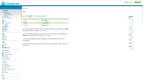
openlayers3加载wfs服务
<html>
<head>
	<meta http-equiv="Content-Type" content="text/html; charset=utf-8" />
	<title>Ol3 popup</title>
	<link rel="stylesheet" type="text/css" href="./css/ol.css"/>
	<style type="text/css">
		body, #map {
			border: 0px;
			margin: 0px;
			padding: 0px;
			padding: 0px;
			padding: 0px;
			width: 100%;
			height: 100%;
			font-size: 13px;
		}
	</style>
	<script type="text/javascript" src="./js/ol.js"></script>
	<script type="text/javascript" src="./js/jquery.js"></script>
	<script type="text/javascript">
		function init(){
			var format = 'image/png';
			var bounds = [73.4510046356223, 18.1632471876417,
				134.976797646506, 53.5319431522236];
			var wfsVectorLayer = new ol.layer.Vector({
				source: new ol.source.Vector({
				format: new ol.format.GeoJSON({
				geometryName: 'the_geom'
				}),
				url: 'http://localhost:8081/geoserver/map/ows?service=WFS&version=1.0.0&request=GetFeature&typeName=map:capital&maxFeatures=50&outputFormat=application/json'
			   })
			   });

			var map = new ol.Map({
				controls: ol.control.defaults({
					attribution: false
				}),
				target: 'map',
				layers: [ new ol.layer.Tile({
							source: new ol.source.OSM({
							projection:ol.proj.getTransform('EPSG:3857','EPSG:4326')
							})
						}),
						wfsVectorLayer],

				view: new ol.View({
					projection: 'EPSG:4326',
					center:[117,42],
					zoom:6
				})
			});
			map.getView().fit(bounds, map.getSize());

		}
	</script>
</head>
<body onLoad="init()">
<div id="map"></div>
</body>
</html>
转载自:https://blog.csdn.net/xlp789/article/details/83508186


